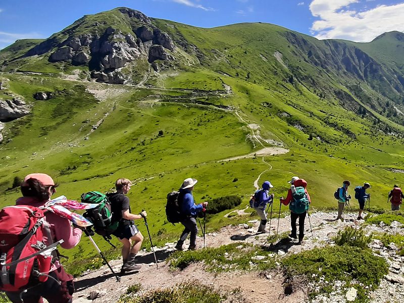
The Peaks of the Balkans is the hike people come home from and can’t stop talking about. The full route is a 192 km (119-mile) loop through the Accursed Mountains, where Albania, Kosovo and Montenegro meet, with shepherds’ summer villages, high passes and a different country every few days.
I’m Laurel, founder of Monkeys and Mountains, and I’ve hiked the Peaks of the Balkans myself.
This guide covers everything you need to plan it, from the trail map and stages to the permits and the best time to go. It also covers the easiest way to do it: our Peaks of the Balkans hiking tours, where we book everything and you just hike.
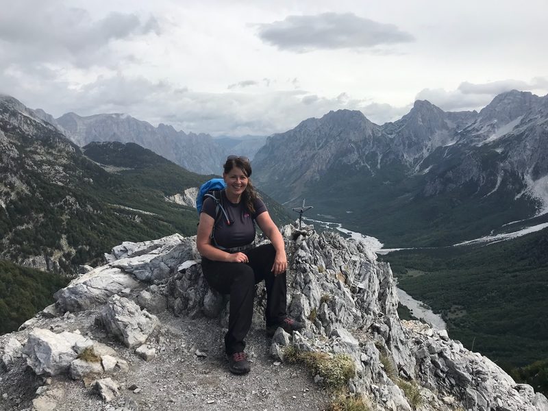
TL;DR: The Peaks of the Balkans Trail at a Glance
The Peaks of the Balkans Trail is a waymarked 192 km (119-mile) loop through the Accursed Mountains of Albania, Kosovo and Montenegro, hiked village to village, with a cross-border permit and family guesthouses every night.
Peaks of the Balkans hiking tours:
We have 3 tours for 2027: the 7-day self-guided tour from €710, the 11-day self-guided full loop from €850 and the 11-day guided full loop from €980.
Peaks of the Balkans distance:
192 km (119 miles) on the full original route, with between 9800 and 11,600 m (32,152 to 38,058 ft) of climbing. We don’t recommend hiking all of it, because parts have been paved or are poorly maintained.
Our 11-day tours keep the highlights at 146.5 km (91 miles) self-guided and 141.6 km (88 miles) guided.
How many days on the Peaks of the Balkans:
About 10 days for the full route, at 14 to 20 km (8.7 to 12.4 miles) and 6 to 8 hours of hiking a day. Our 7-day tour is the easier way to experience it, with 5 hiking days.
Countries on the Peaks of the Balkans:
Albania, Kosovo and Montenegro, crossing the borders high in the mountains, away from the road crossings.
Best time to hike the Peaks of the Balkans:
June to September, when the shepherds’ villages are open. Our 2027 tours start from May 22nd to October 10th.
Peaks of the Balkans permit:
Yes, you need a cross-border permit, and you apply at least two weeks before your first border crossing. When you book one of our tours, we do this for you.
Where you sleep on the Peaks of the Balkans:
Family-run guesthouses in mountain villages, usually with dinner and breakfast included.
Peaks of the Balkans Hiking Tours: 3 Ways to Hike It in 2027
Want to hike the Peaks of the Balkans without spending your evenings on border permits and guesthouse phone calls? Our tours are open for 2027, and there are 3 ways to do it.
We book your guesthouses, transfers and border permits, so all you have to do is hike and practice saying Gjeravica.
- Peaks of the Balkans Self-Guided Hiking Tour with Taljanka Peak (7 Days, Moderate): the easier option, with 5 hiking days in Albania and Montenegro, the Blue Eye, the Valbona Pass and Taljanka peak, from €710 per person.
- Peaks of the Balkans Self-Guided Hiking Tour: Full Loop (11 Days): 9 hiking days through Albania, Kosovo and Montenegro at your own pace, with GPS tracks for every hiking day, from €850 per person.
- Peaks of the Balkans Guided Hiking Tour: Full Loop (11 Days): the full loop with a local mountain guide every hiking day, in a group of 16 at most, from €980 per person.
Compare All 3 Peaks of the Balkans Hiking Tours
| Peaks of the Balkans Self-Guided Hiking Tour with Taljanka Peak (7 Days, Moderate) | Peaks of the Balkans Self-Guided Hiking Tour: Full Loop (11 Days) | Peaks of the Balkans Guided Hiking Tour: Full Loop (11 Days) | |
|---|---|---|---|
| Pick this if | You have a week and want the big views with gentler days and fewer moves | You have 11 days and like to set your own pace | You have 11 days and want a local guide and a group |
| Tour length | 7 days, 6 nights, 5 hiking days | 11 days, 10 nights, 9 hiking days | 11 days, 10 nights, 9 hiking days |
| Difficulty | Moderate | Challenging | Challenging |
| Navigation | GPS tracks for every hiking day | GPS tracks for every hiking day | A local mountain guide every hiking day |
| Countries | Albania and Montenegro | Albania, Kosovo and Montenegro | Albania, Kosovo and Montenegro |
| Start dates | Any day, June 1st to October 10th, 2027 | Any day, June 1st to October 10th, 2027 | 10 Saturdays, May 22nd to October 2nd, 2027 |
| Hiking | 75.7 km (47 miles), 4515 m (14,813 ft) of elevation gain | 146.5 km (91 miles), 8766 m (28,760 ft) of elevation gain | 141.6 km (88 miles), 8337 m (27,352 ft) of elevation gain |
| Highest point | 2057 m (6749 ft), Taljanka peak | 2656 m (8714 ft), Gjeravica | 2656 m (8714 ft), Gjeravica |
| Accommodations | A hotel in Shkodra and guesthouses in 3 mountain villages, in shared rooms. Private double or twin rooms for the whole trip, €110 per room, depending on availability | A hotel in Shkodra and guesthouses in 7 mountain villages, in shared rooms. Private double or twin rooms for the whole trip, €150 per room, depending on availability | The same hotel and villages as the self-guided loop, plus a night in the Gacaferi hut in Kosovo, in shared rooms. Ask us about private rooms, depending on availability |
| Signature days | The Blue Eye, the Valbona Pass, Taljanka peak | Gjeravica, the Three-Border peak, Taljanka peak | Gjeravica, the Gacaferi pastures, Taljanka peak |
| Meals | 6 breakfasts, 4 lunches, 4 dinners | 10 breakfasts, 9 lunches, 7 dinners | Three meals a day from day 2 to day 9, plus breakfast and a packed lunch on day 10 |
| Park fees in Montenegro | About €3 to €5 a day, in cash | About €3 to €5 a day, in cash | Included |
| Luggage transfer | Optional, €325 for your group, up to 50 kg (110 lb) in 5 soft bags | Optional, €595 for your group, up to 50 kg (110 lb) in 5 soft bags | Included, 1 soft bag each up to 13 kg (29 lb) |
| Price per person | €710 | €850 | €980 |
| Hiking on your own | Add a €420 solo supplement | Add an €820 solo supplement | €980, no supplement |
| Deposit to book | €213 | €255 | €294 |
| Every tour includes | Hotel and family guesthouse nights, with shared rooms in the mountains. The Valbona Pass and the Vusanje to Theth trail. Transfers from Shkodra and back. Border permits arranged for you. Assistance while you’re on tour. A free custom training plan (valued at €300). | ||
Swipe left to see all three tours →
Not sure which suits you? Here’s what a self-guided hiking tour includes, and how it compares with a guided one.
See Every Day of Our Peaks of the Balkans Hiking Tours
Full itineraries, 2027 dates, prices and what’s included on all 3 tours, from €710 per person.
Peaks of the Balkans Trail Map: Where the Loop Goes in Albania, Kosovo and Montenegro
The Peaks of the Balkans Trail map is a loop, so you can start in any of the three countries. Most hikers start in Theth in Albania and head counterclockwise: east over the Valbona Pass into Kosovo, west into Montenegro and south back to Theth.
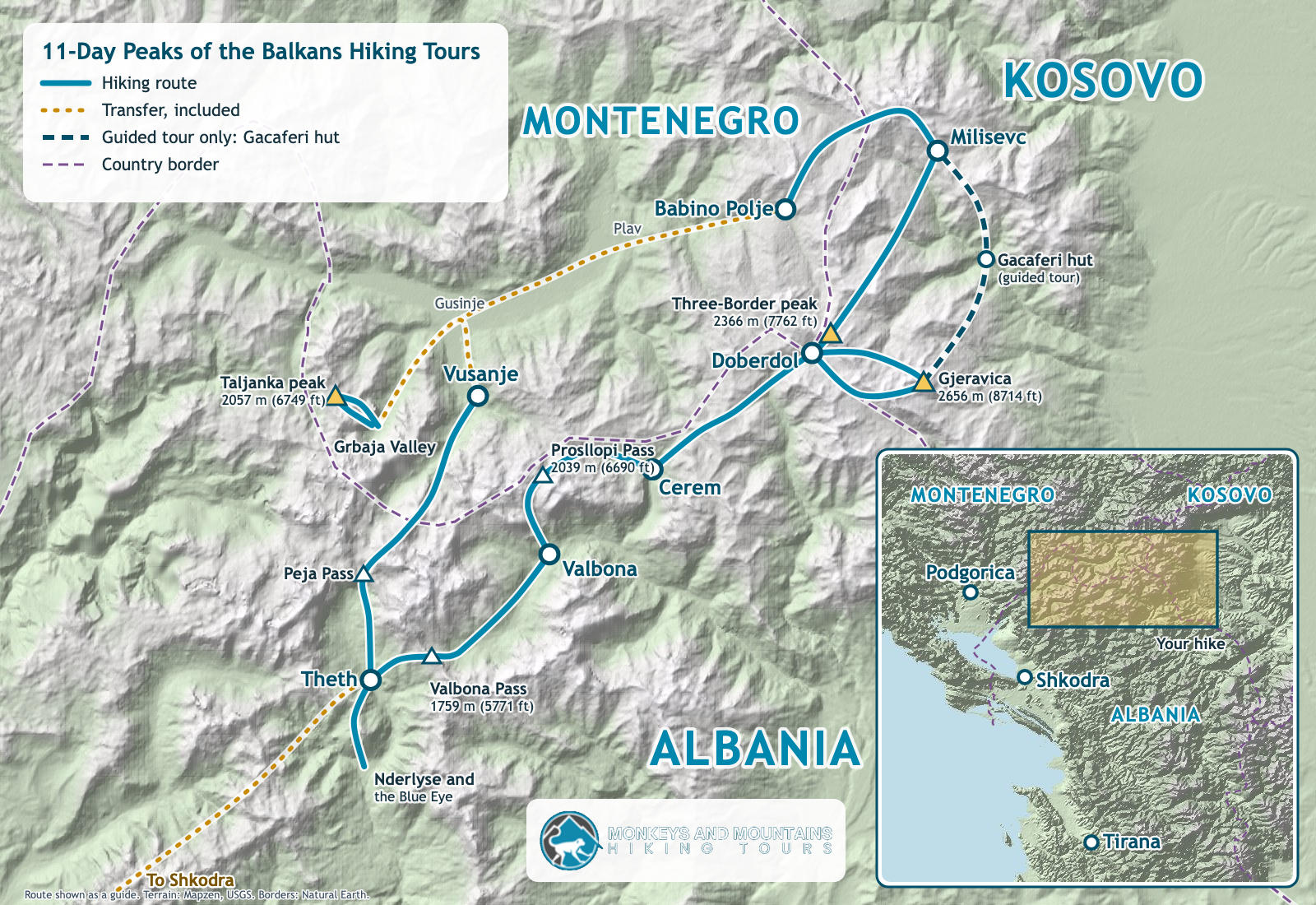
That’s the route of our 11-day Peaks of the Balkans hiking tours, which start and finish in Shkodra, Albania’s lakeside city at the foot of the mountains. Your transfers to and from Theth are included.
Planning it on your own? Plav in Montenegro and Peja in Kosovo are the other two main starting points, and the official Peaks of the Balkans website has the trail map and the cross-border forms.
On the trail, most hikers follow a Peaks of the Balkans GPX track on their phone alongside the waymarks, since a few sections in Kosovo and Montenegro are marked less clearly. On our self-guided tours, you get GPS tracks for every hiking day.
What Is the Peaks of the Balkans Trail?
The Peaks of the Balkans Trail is a long-distance hiking loop through the Accursed Mountains, also called the Prokletije or the Albanian Alps, the wild limestone range on the borders of Albania, Kosovo and Montenegro.
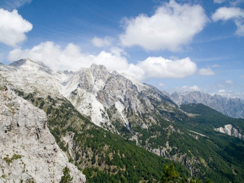
For most of the 20th century these were some of the most closely guarded borders in Europe.
Families in villages a single pass apart couldn’t visit each other. The trail opened in 2012 to link those valleys again, and today you can hike over passes that were off limits for generations.
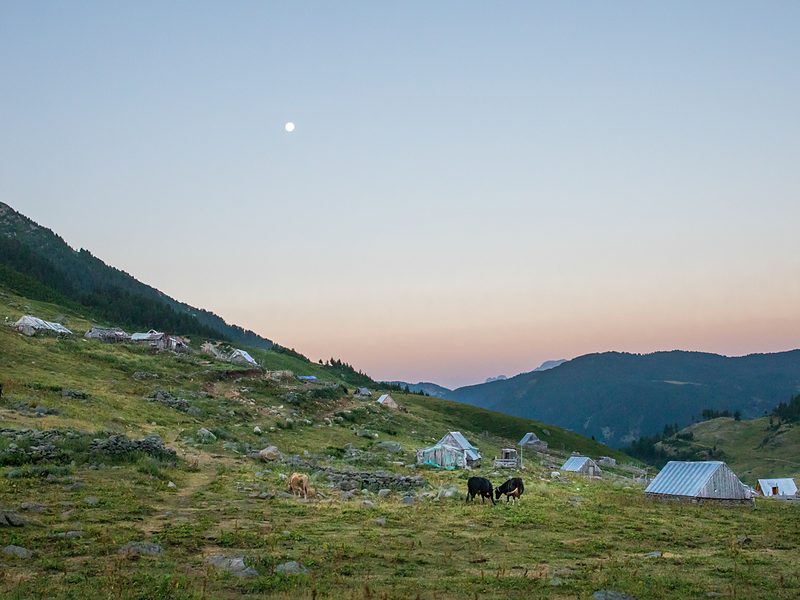
What makes the Peaks of the Balkans special is the life along it. In summer the shepherds bring their animals up to high villages like Doberdol and Milisevc, and the families there open their homes to hikers.
You eat what they cook, sleep under their roof and wake up to the sound of sheep bells.
The Peaks of the Balkans also isn’t to be confused with the Balkan Mountains, the range that runs across Bulgaria and gave the whole peninsula its name. The two are hundreds of kilometers apart.
How Long Is the Full Peaks of the Balkans Route, and Why Don’t We Recommend Hiking All of It?
The full Peaks of the Balkans route is 192 km (119 miles). That’s the original trail, and we don’t recommend hiking all of it.
The trail was recently modified because parts of the original route were paved and poorly maintained, which makes those sections unattractive for hiking. Nobody crosses an ocean to hike along a road.
So our 11-day Peaks of the Balkans hiking tours are designed to include all the trail’s highlights: 146.5 km (91 miles) on the self-guided full loop and 141.6 km (88 miles) on the guided full loop. You still cross all three countries, and you still earn every dinner.
Want to experience the Peaks of the Balkans with easier days? Our 7-day self-guided hiking tour gives you the Blue Eye, the Valbona Pass and Taljanka peak in a week, with gentler days and fewer moves.
Peaks of the Balkans Stages: Our 11-Day Full Loop, Day by Day
Here are the 9 hiking days of our 11-day self-guided full loop, from Theth around the Accursed Mountains and back. Day 1 and day 11 are in Shkodra.
| Day | Stage | Country | Distance | Climb | High point |
|---|---|---|---|---|---|
| Day 2 | Theth to Nderlyse and the Blue Eye | Albania | 19.8 km (12.3 miles) | 520 m (1706 ft) up, 630 m (2067 ft) down | In the valley |
| Day 3 | Theth to Valbona over the Valbona Pass | Albania | 16.6 km (10.3 miles) | 1175 m (3855 ft) up, 940 m (3084 ft) down | 1854 m (6083 ft) |
| Day 4 | Valbona to Cerem over the Prosllopi Pass | Albania | 16.3 km (10.1 miles) | 1215 m (3986 ft) up, 1005 m (3297 ft) down | 2039 m (6690 ft) |
| Day 5 | Cerem to Doberdol | Albania | 16.8 km (10.4 miles) | 1020 m (3346 ft) up, 520 m (1706 ft) down | 1920 m (6299 ft) |
| Day 6 | Gjeravica from Doberdol | Albania and Kosovo | 18.8 km (11.7 miles) | 1134 m (3720 ft) up, 1130 m (3707 ft) down | 2656 m (8714 ft) |
| Day 7 | Doberdol to Milisevc over the Three-Border peak | Albania to Kosovo | 17.9 km (11.1 miles) | 970 m (3182 ft) up, 1075 m (3527 ft) down | 2250 m (7382 ft) |
| Day 8 | Milisevc to Babino Polje | Kosovo to Montenegro | 12.9 km (8 miles) | 597 m (1959 ft) up, 747 m (2451 ft) down | 2155 m (7070 ft) |
| Day 9 | Taljanka peak from the Grbaja Valley | Montenegro | 9.6 km (6 miles) | 995 m (3264 ft) up, 1100 m (3609 ft) down | 2057 m (6749 ft) |
| Day 10 | Vusanje to Theth over the Peja Pass | Montenegro to Albania | 17.8 km (11.1 miles) | 1140 m (3740 ft) up, 1400 m (4593 ft) down | 1740 m (5709 ft) |
| Total | 9 hiking days | 3 countries | 146.5 km (91 miles) | 8766 m (28,760 ft) up | 2656 m (8714 ft) |
The 11-day guided tour hikes almost the same loop, with a night in the Gacaferi hut in Kosovo on day 6, for 141.6 km (88 miles) in total.
Theth, Nderlyse and the Blue Eye: Your First Day on the Trail
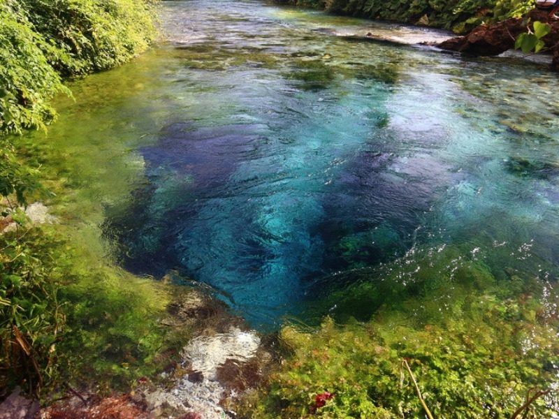
The loop starts in Theth, a stone village at the end of a long valley in Albania. You hike past the Lock Tower, where men caught up in old blood feuds once shut themselves away, to Nderlyse and the turquoise Blue Eye pool.
It’s 19.8 km (12.3 miles) with 520 m (1706 ft) of climbing, and it’s a great way to meet your legs for the week.
Theth to Valbona: The Most Famous Stage of the Peaks of the Balkans
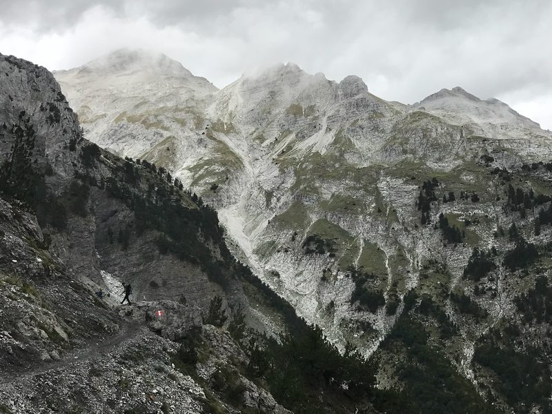
The Theth to Valbona hike is the stage everyone has heard of, and it’s the most famous day hike in Albania. You climb out of Theth on an old mule track to the Valbona Pass, with both valleys opening out below you, then drop into Valbona.
It’s 16.6 km (10.3 miles) with 1175 m (3855 ft) of climbing, and the highest point of the day is 1854 m (6083 ft).
Valbona to Cerem and Doberdol: Into the Shepherds’ Pastures
There are two ways from Valbona to Cerem: the official route along a tractor track, and the high route over the Prosllopi Pass. Our tours take the high one, because nobody crosses an ocean for a tractor track.
From the pass, strong hikers can add Zla Kolata, at 2535 m (8317 ft) the highest peak in Montenegro.
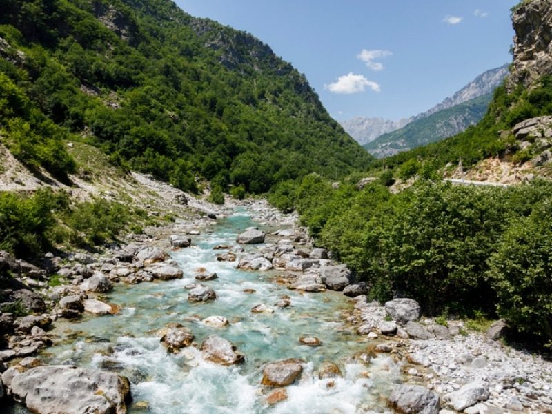
The next day crosses the high pastures to Doberdol, right below the point where Albania, Kosovo and Montenegro meet. No ordinary car can reach Doberdol, which is a big part of why it’s so memorable.
Gjeravica, the Three-Border Peak and Milisevc: Into Kosovo
From Doberdol you can climb Gjeravica, at 2656 m (8714 ft) the highest mountain in Kosovo, as a day loop.
Legs asking for a day off? On our self-guided full loop, you can stay in Doberdol instead. No judgment from the sheep.
Then the trail crosses into Kosovo over the Three-Border peak, 2366 m (7762 ft), to the summer village of Milisevc. Three countries, two feet: plan your photo.
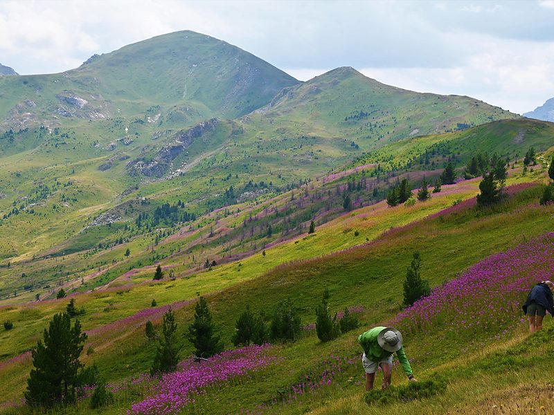
Babino Polje, Taljanka Peak and Vusanje in Montenegro
The original route continues through Reka e Allages, Drelaj and Plav. Our 11-day tours leave it for some of the least-visited trails on the Kosovo side, then cross to Babino Polje, a shepherds’ village famous for its dairy and cooking.
It’s 12.9 km (8 miles) with 597 m (1959 ft) of climbing, so arrive hungry.
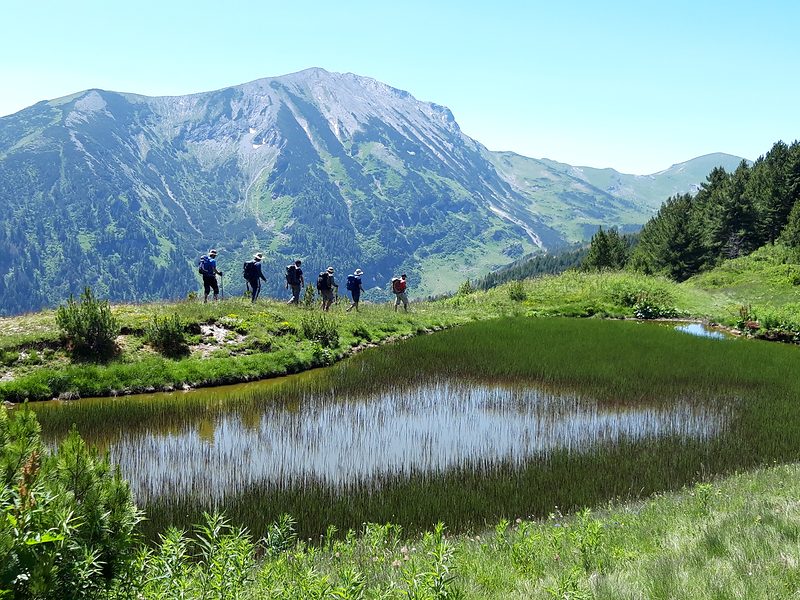
From Babino Polje, a transfer takes you to the Grbaja Valley to climb Taljanka peak, at 2057 m (6749 ft), facing the rock wall of Karanfil. It’s 9.6 km (6 miles) with 995 m (3264 ft) of climbing, followed by a transfer to Vusanje.
Vusanje Back to Theth Over the Peja Pass
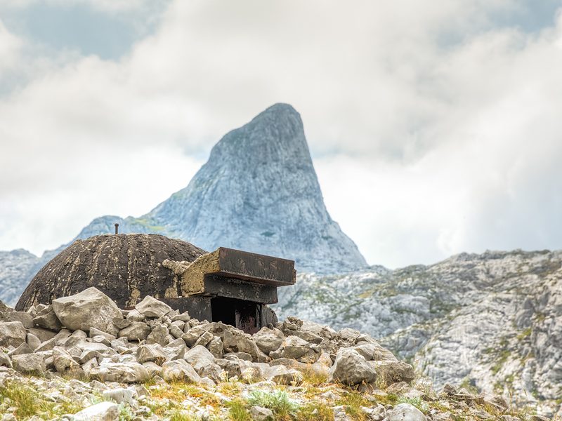
The last stage closes the loop. You hike up the Ropojana Valley, past an old military bunker and the former border markers, over the Peja Pass and down through meadows to Theth.
It’s 17.8 km (11.1 miles) with 1140 m (3740 ft) of climbing and 1400 m (4593 ft) of descent, and it’s on both of our tour lengths, so nobody misses it.
How Long Does It Take to Hike the Peaks of the Balkans?
Hiking the full 192 km (119-mile) Peaks of the Balkans route takes about 10 days. Most stages are 14 to 20 km (8.7 to 12.4 miles), and you’ll spend 6 to 8 hours on the trail on most hiking days, including stops.
Our 11-day Peaks of the Balkans hiking tours give you 9 hiking days, including Gjeravica, the highest peak in Kosovo, and Taljanka peak above the Grbaja Valley.
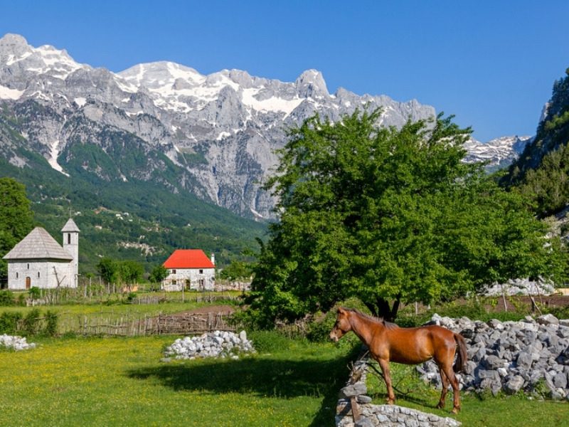
Short on time? Our 7-day self-guided hiking tour has 5 hiking days. You hike over the Valbona Pass, cross from Cerem into Montenegro at Vusanje, climb Taljanka peak and finish with the big day from Vusanje back to Theth.
How Hard Is the Peaks of the Balkans Hike?
The Peaks of the Balkans is a challenging multi-day hike. Most stages climb around 1000 m (3281 ft) and many come down just as far, day after day, on paths that range from grassy ridges and forest trails to loose rock.
You don’t need any mountaineering experience for the main loop. What you do need is the stamina for back-to-back long days.
Two of the biggest days are Valbona to Cerem on the high route, with 1215 m (3986 ft) of climbing, and Vusanje to Theth, with 1400 m (4593 ft) of descent. Poles make a big difference on the long descents.
Want the Peaks of the Balkans with easier days? Our 7-day self-guided hiking tour is graded Moderate, and our 11-day tours are graded Challenging.
On the 7-day tour you hike 75.7 km (47 miles) over 5 days, instead of 146.5 km (91 miles) over 9, and your highest point is 2057 m (6749 ft), not 2656 m (8714 ft).
You still get the Valbona Pass and the trail from Vusanje to Theth, the two days people come here for.
Every one of our Peaks of the Balkans hiking tours also includes a free custom training plan, valued at €300.
Get Ready for the Peaks of the Balkans With a Free Training Plan
Our free 6-week training plan builds the leg strength and stamina for back-to-back 1000 m (3281 ft) climbs, even if you live somewhere flat.
Best Time to Hike the Peaks of the Balkans
The best time to hike the Peaks of the Balkans is from June to September. That’s when the shepherds are up in their summer villages and the guesthouses along the route are open.
July and August are the warmest months, with long days and wildflowers in the high meadows. September brings cooler days for hiking.
For 2027, our self-guided tours start on any day from June 1st to October 10th, and our guided tour has ten Saturday departures from May 22nd to October 2nd.
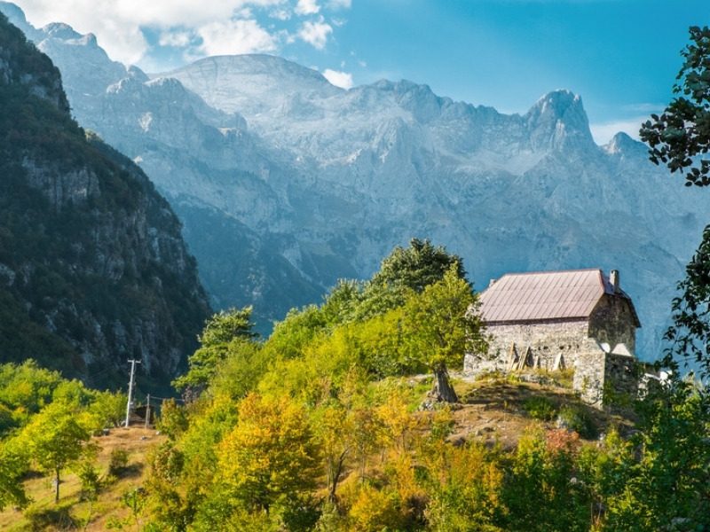
Hiking on your own outside the summer? Snow can linger on high passes like the Valbona Pass in May and early June, so check that the guesthouses on your route are open before you go.
Peaks of the Balkans Border Permits: How the Cross-Border Permit Works
You need a cross-border permit to hike the Peaks of the Balkans, because the trail crosses between Albania, Kosovo and Montenegro on mountain passes rather than at official border posts.
Rather skip the paperwork? When you book one of our Peaks of the Balkans hiking tours, we do this for you. Just send us a copy of your passport, and your permits arrive with your other trip documents.
Doing it yourself? You apply to the border police, with a copy of your passport and your itinerary, including where and when you’ll cross each border.
The official trail website asks for at least 15 days’ notice, so apply at least two weeks before your first crossing, and earlier in July and August.
The permits are free in Albania and Kosovo, and Montenegro charges a small administration fee. Carry printed and offline copies of every approval, plus your passport, since you may be asked for them on the trail.
Where You Sleep on the Peaks of the Balkans: Village Guesthouses
On the Peaks of the Balkans you sleep in family-run guesthouses, from stone houses in Theth and Valbona to wooden summer houses in the shepherds’ villages. Most offer dinner, bed and breakfast, and many can pack you a lunch for the trail.
Rooms are often shared, with 2 to 5 beds, especially in the high villages like Doberdol and Cerem. On our Peaks of the Balkans hiking tours, every night is booked before you arrive, with a hotel in Shkodra at the start and finish.
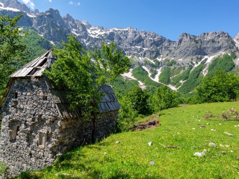
You’ll be surprised how good the food is. Dinner is home-cooked, often with cheese, eggs and vegetables from the family’s own farm, and someone will almost certainly offer you a glass of rakija.
If you have a special diet, tell your hosts ahead of time, or tell us when you book.
Peaks of the Balkans Practical Tips: Money, Water and What to Pack
- Money: Albania uses the Albanian lek, and Kosovo and Montenegro both use the euro. Carry cash for the guesthouses in the mountain villages.
- Water: there are springs and streams along most of the trail. Bring a filter or purification tablets and refill as you go.
- Navigation: load a Peaks of the Balkans GPX track onto your phone before you leave, and carry a power bank. GPS tracks come with our self-guided hiking tours.
- Luggage: luggage transfer is included on our guided tour, and you can add it for your group on our self-guided tours.
- Documents: your passport and printed copies of your cross-border permits, every day.
- Gear: broken-in hiking boots, poles, a rain jacket, a warm layer for the evenings and sun protection for the open ridges.
- Insurance: make sure your policy covers hiking at altitude in all three countries. Our free Adventure Travel Insurance Finder gives you a tailored recommendation in under 60 seconds.
Hiking the Peaks of the Balkans on Your Own vs. With a Tour
You can hike the Peaks of the Balkans on your own. Here’s what that means you organize before you go, and what we take off your plate.
| Peaks of the Balkans hiking tour | Planning it yourself | |
|---|---|---|
| Border crossing permits | We do this for you. Send us a copy of your passport and the permits arrive with your trip documents. | Your job, and the biggest headache. You apply for a permit for each border you cross on the trail, in advance, before you leave home. Without them, you can’t legally cross the mountain borders. |
| Where you sleep | Every night booked before you arrive: a hotel in Shkodra and family guesthouses in the mountains | You contact each guesthouse yourself, often by phone or message, in villages that are only open in summer |
| Transfers | Arranged: Shkodra to Theth and back, plus the shortcuts in your itinerary, private for your group | You find your own drivers and 4x4s in the mountains |
| Luggage | Luggage transfer included on the guided tour, or added for your group on the self-guided tours | You carry everything, or find your own horse or vehicle between villages |
| Navigation | A local mountain guide, or GPS tracks for every hiking day | Your own research and route finding |
| Help on the trail | Assistance while you’re on tour | You’re on your own |
| Free custom training plan | Yes, valued at €300 | No |
See Every Day of Our Peaks of the Balkans Hiking Tours
Full itineraries, 2027 dates, prices and what’s included on all 3 tours, from €710 per person.
Peaks of the Balkans FAQs
Are there guided and self-guided Peaks of the Balkans hiking tours?
Yes, there are guided and self-guided Peaks of the Balkans hiking tours. Monkeys and Mountains has a 7-day self-guided tour from €710, an 11-day self-guided full loop from €850 and an 11-day guided full loop from €980.
How long is the Peaks of the Balkans Trail?
The Peaks of the Balkans Trail is 192 km (119 miles) long on the full original route, a loop through the Accursed Mountains of Albania, Kosovo and Montenegro. It climbs between 9800 and 11,600 m (32,152 to 38,058 ft) in total, depending on which variants you hike.
Should you hike the full 192 km (119-mile) Peaks of the Balkans route?
No, we don’t recommend hiking the full 192 km (119-mile) Peaks of the Balkans route, because parts were paved and poorly maintained. The Monkeys and Mountains 11-day tours keep the highlights at 146.5 km (91 miles) self-guided and 141.6 km (88 miles) guided.
How many days do you need to hike the Peaks of the Balkans?
You need about 10 days to hike the full Peaks of the Balkans route. With less time, the 7-day Monkeys and Mountains tour has 5 easier hiking days, with the Valbona Pass, Taljanka peak and the trail from Vusanje to Theth.
How hard is the Peaks of the Balkans hike?
The Peaks of the Balkans hike is hard enough to earn your dinner: most stages are 14 to 20 km (8.7 to 12.4 miles) and climb around 1000 m (3281 ft), day after day. You don’t need mountaineering experience, and our free 6-week training plan gets you ready.
When is the best time to hike the Peaks of the Balkans?
The best time to hike the Peaks of the Balkans is June to September. For 2027, the Monkeys and Mountains self-guided tours start any day from June 1st to October 10th, and the guided tour has ten Saturday departures from May 22nd to October 2nd.
Do you need a permit to hike the Peaks of the Balkans?
Yes, you need a cross-border permit to hike the Peaks of the Balkans, because the trail crosses borders on mountain passes. Apply to the border police at least two weeks before your first crossing. When you book a Monkeys and Mountains tour, we do this for you.
Which countries does the Peaks of the Balkans Trail go through?
The Peaks of the Balkans Trail goes through three countries: Albania, Kosovo and Montenegro. On the Monkeys and Mountains 11-day tours you sleep in Theth, Valbona, Cerem and Doberdol in Albania, Milisevc in Kosovo, and Babino Polje and Vusanje in Montenegro.
What is the highest point on the Peaks of the Balkans?
The highest point on the Peaks of the Balkans main loop is 2290 m (7513 ft). The highest summit you can add is Gjeravica, 2656 m (8714 ft), the highest mountain in Kosovo, as a day loop from Doberdol.
Where does the Peaks of the Balkans Trail start?
The Peaks of the Balkans Trail is a loop, so it can start in any of the three countries, but most hikers start in Theth, Albania, reached by transfer from Shkodra. The Monkeys and Mountains tours start and finish in Shkodra.
Is there a Peaks of the Balkans trail map and GPX track?
Yes, the Peaks of the Balkans trail map is on the official Peaks of the Balkans website, and GPX tracks of the loop are widely shared for phone apps. Carry one as well as following the waymarks, because a few sections in Kosovo and Montenegro are marked less clearly.
Where do you sleep on the Peaks of the Balkans?
Where you sleep on the Peaks of the Balkans is in family-run guesthouses in villages like Theth, Valbona, Doberdol and Vusanje, most with dinner, bed and breakfast. Rooms are often shared, with 2 to 5 beds.
What currency do you need on the Peaks of the Balkans?
The currency you need on the Peaks of the Balkans depends on the country, so carry two: the Albanian lek in Albania, and the euro in Kosovo and Montenegro. Carry cash for the guesthouses in the mountain villages.
Is the Peaks of the Balkans the same as the Balkan Mountains?
No, the Peaks of the Balkans is not the same as the Balkan Mountains. The Peaks of the Balkans Trail crosses the Accursed Mountains of Albania, Kosovo and Montenegro, while the Balkan Mountains run across Bulgaria, hundreds of kilometers to the east.
Ready to Hike the Peaks of the Balkans in Europe in 2027?
Three countries, high passes, shepherds’ villages and some of the warmest welcomes in the mountains of Europe: the Peaks of the Balkans is a hike you’ll be telling stories about for years.
See our Peaks of the Balkans hiking tours
Still Deciding Where to Hike Next?
A few more ways to find your next adventure in the mountains of Europe.